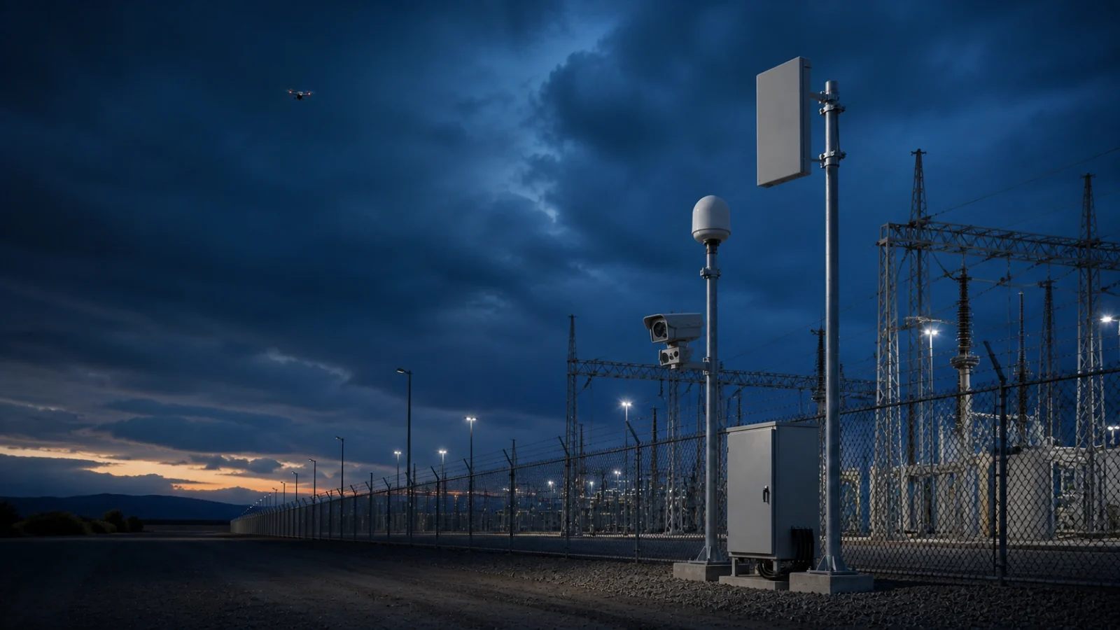
How to Choose a Counter-Drone System for Critical Infrastructure
Choose a counter-drone system for critical infrastructure with a 7-step framework covering threat assessment, RF, radar, EO/IR, testing and legal response.
A practical seven-step framework for selecting a counter-drone system for airports, power plants, ports, data centers and other critical sites. The best counter-drone system is not the product with the longest claimed range. It is the system that can reliably detect the drones in your site-specific threat model, give operators enough time to verify the event, and support a lawful response without disrupting normal operations. For critical infrastructure, selection should follow a risk-led process: define the protected area, model likely flight paths, test the radio and physical environment, then choose detection, tracking, identification and response layers. This guide turns that process into seven practical steps. Quick answer: what should a counter-drone system include? A complete counter-UAS system normally combines four functions: **Detection:** discover a possible drone using RF, radar, Remote ID, acoustic or other sensors. **Tracking:** maintain the target position, direction, speed and history. **Identification and verification:** distinguish an authorized drone, bird or false alarm from a credible threat, often with EO/IR cameras and operator review. **Response:** alert security teams, preserve evidence and, only where legally authorized, activate an appropriate mitigation system. No single sensor covers every target and environment. The European Commission's C-UAS work emphasizes multi-sensor data fusion because different sensors observe different evidence and have different failure modes. Step 1: define the site and the drone threat Start with the asset, not a catalogue. An airport runway, refinery, prison, port and data center have different safety constraints, terrain and response times. Record the protected asset, boundary, surrounding access points, nearby buildings, permitted drone activity and the consequence of an incident. Create several realistic scenarios: a consumer quadcopter filming from outside the fence, an FPV drone approaching at low altitude, an autonomous waypoint flight with no active controller link, or multiple targets arriving from different directions. For each scenario, estimate where detection must occur and how many seconds the operator needs to assess and respond. Step 2: survey the physical and RF environment Counter-drone performance is site-dependent. Buildings, cranes, trees and terrain can block lines of sig…